
توضیحات
PERFORMANCE SPECIFICATIONS
Satellite Signals Tracked Simultaneously
Channels…………………………………………………. 1408/800+(optional)
GPS………………………………………… L1C/A,L1C,L2P(Y),L2C,L5
BeiDou…………………………………. B1l,B2l,B3l,B1C,B2a,B2b*
GLONASS……………………………………………………………………….. L1, L2
Galileo ………………………………………………………………. E1, E5A, E5B, E6
IRNSS…………………………………………………………………………………….. L5
SBAS……………………………… L1C/A,L5(QZSS,WAAS,MSAS,GAGAN)
QZSS………………………………………………………………. L1,L2,L5,L6*
POSITIONING PERFORMANCE
High-Precision Static
Horizontal…………………………………………. 2.5 mm + 0.1 ppm RMS
Vertical……………………………………………… 3.5 mm + 0.4 ppm RMS
Static and Fast Static:
Horizontal…………………………………………. 2.5 mm + 0.5 ppm RMS
Vertical…………………………………………………. 5 mm + 0.5 ppm RMS
Post Processing Kinematic (PPK / Stop & Go)
Horizontal……………………………………………………. 8mm+1ppm RMS Vertical 15mm+1ppm RMS
Initialization time… Typically 10 min for base and 5 min for rover
Initialization reliability…………………………………. Typically > 99.9%
Code Differential GNSS Positioning
Horizontal…………………………………………………… 25cm+1ppm RMS Vertical 50cm+1ppm RMS
SBAS………………………………………………………………………………….. 0.5m
Real Time Kinematic (RTK) Single Baseline
Horizontal……………………………………………………. 8mm+1ppm RMS
Vertical……………………………………………………….. 15mm+1ppm RMS
Network RTK(VRS,FKP,MAC)
Horizontal………………………………………………… 8mm+0.5ppm RMS
Vertical………………………………………………….. 15mm+0.5ppm RMS
Initialization time…………………………………………… Typically 2-10s
Initialization reliability………………………………. Typically>99.99%
Provides RTK measurements even during differential signal interruptions
Hi-Fix 5
Horizontal……………………………………. RTK+10mm / minute RMS
Vertical…………………………………………. RTK+20mm / minute RMS
Time to first Fix
Cold start…………………………………………………………………….. < 45 s
Hot start………………………………………………………………………. < 30 s
Signal re-acquisition……………………………………………………. < 2 s
Image Accuracy
Stakeout……………………………………………………………. Typically 2cm
Image Measurement……………………………………………. 2cm~4cm
Tilt Survey Performance
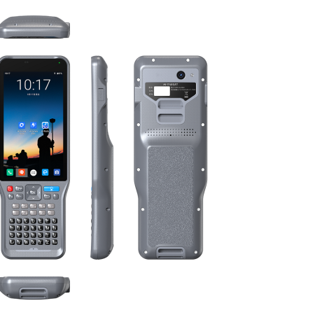
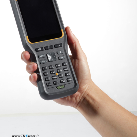
HARDWARE
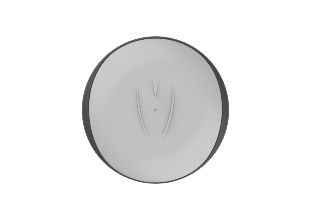
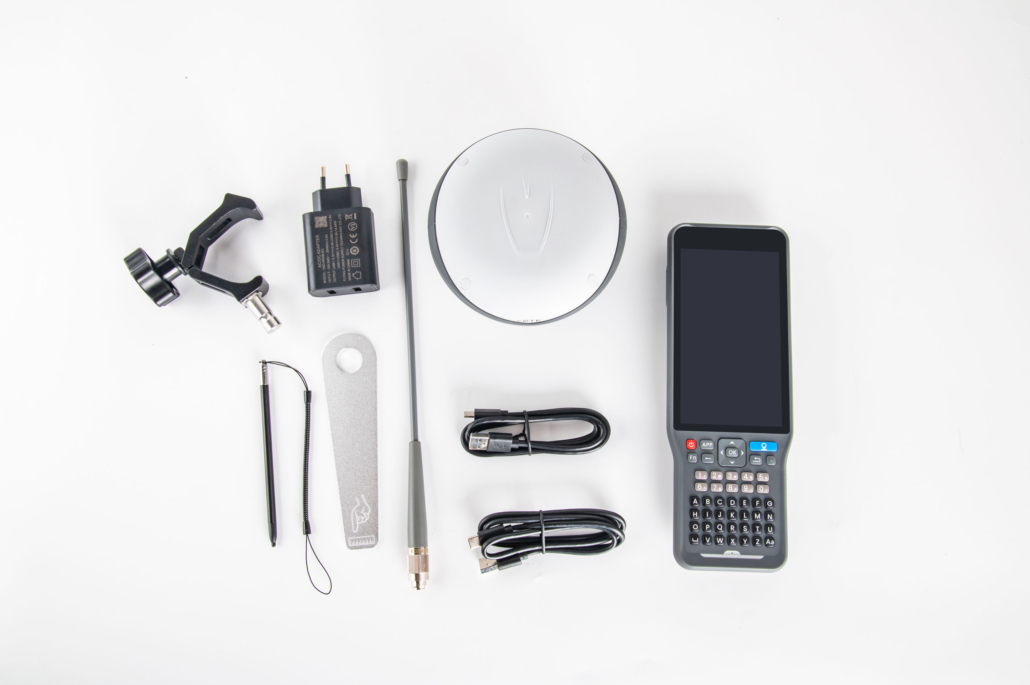
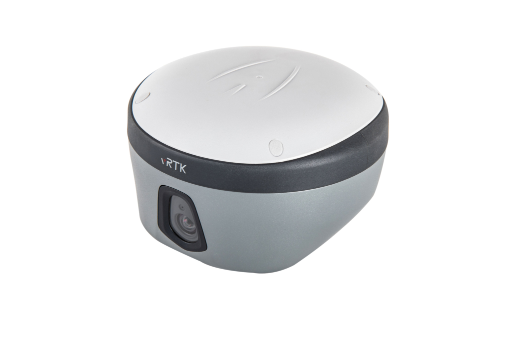
Physical
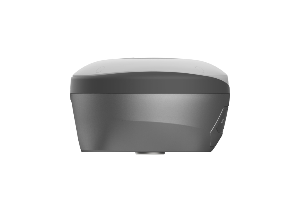
Dimensions (W x H)……………………………………………………………………………. 130mm×79mm
Weight………………………………………….. lighter than 0.97kg (2.14lb) within internal battery
Operation temperature…………………………………………. .. -40℃~+75℃(-40℉~+167℉)
Storage temperature……………………………………………… .. -55℃~+85℃(-67℉~+185℉)
Temperature control… Auto-adjust the working power to maintain the temperature
Humidity…………………………………………………………………………………. 100%, non-condensing
Water/dustproof………………. IP68 dustproof, protected from temporary immersion to
depth of 1.0m (3.28ft) Shock and vibration……………………………………………………………………….. MIL-STD-810G, 514.6
Anti-salt spray……………………………………………………………………. MIL-STD-810G, 509.4, 96h
Free fall…………………………………………………….. MIL-STD-810G, 516.6, designed to survive
a 2m(6.56ft) natural fall onto concrete
Charging
Charging:using standard smartphone chargers or external power banks (Support 5V 2.8A Type-C USB external charging)
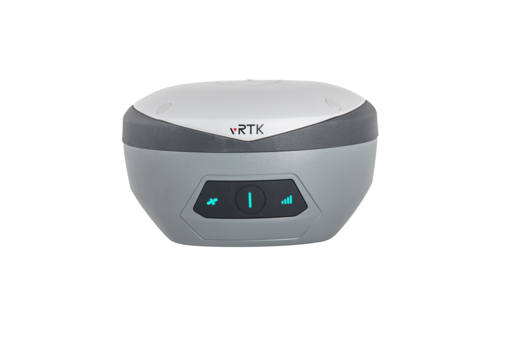
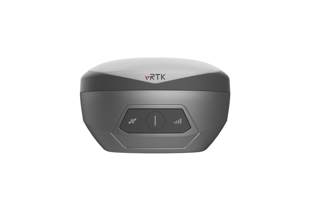
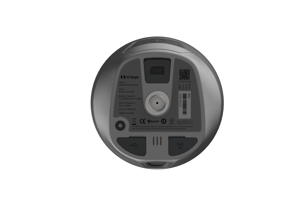
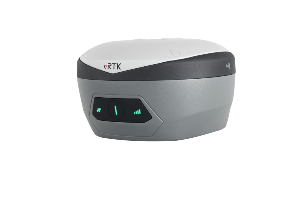
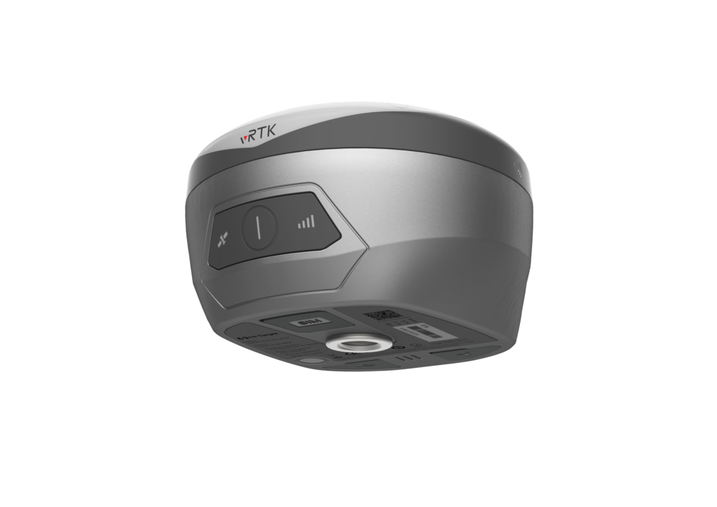
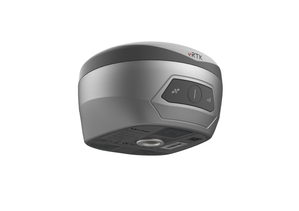
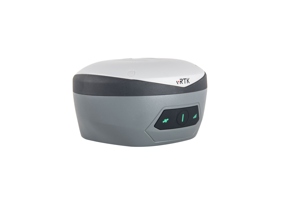
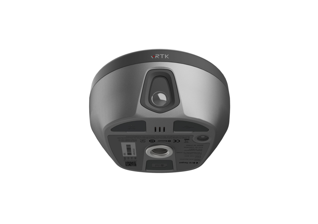
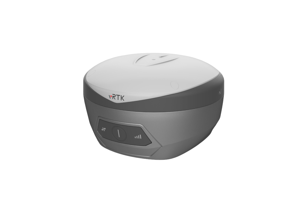
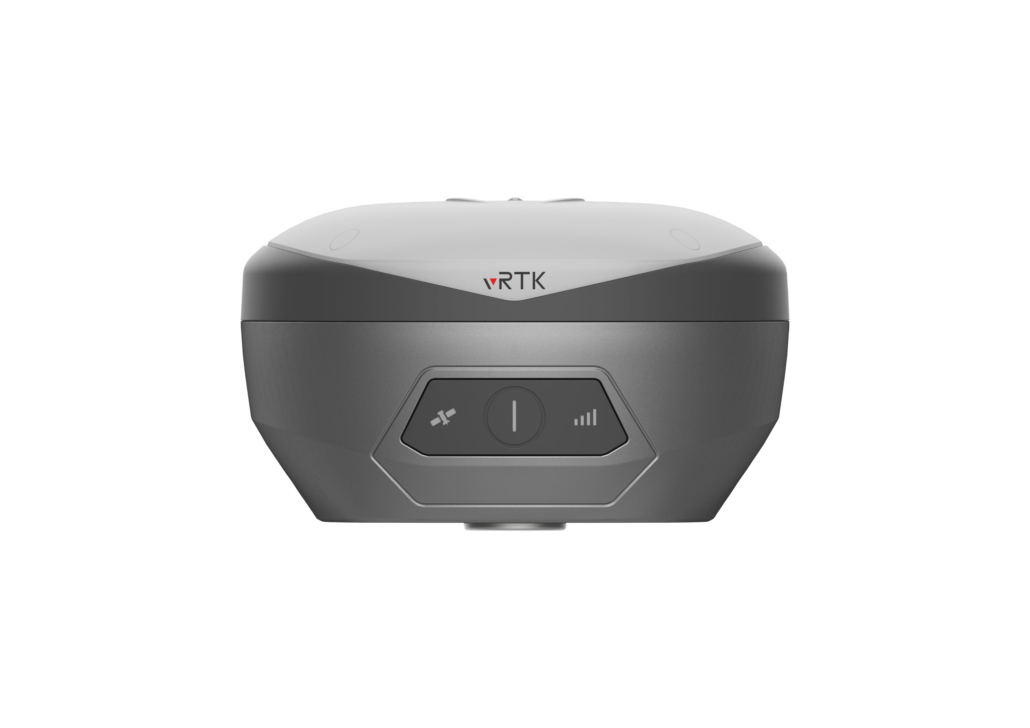
Control Panel
Physical button……………………………………………………………………………………………………………. 1
LED Lights………………………………………………….. Satellite lights, signal lights, power lights
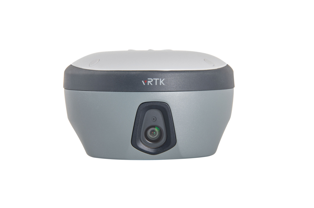
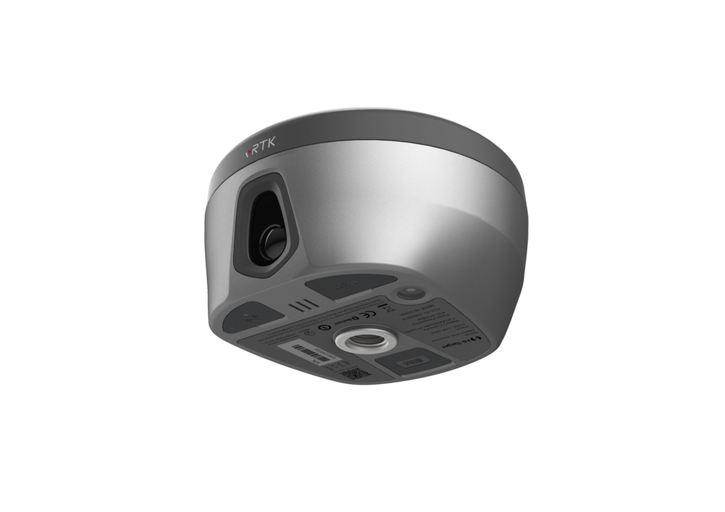
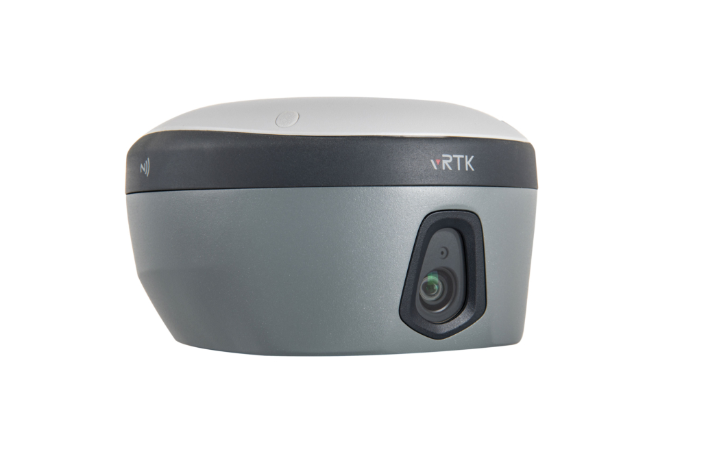
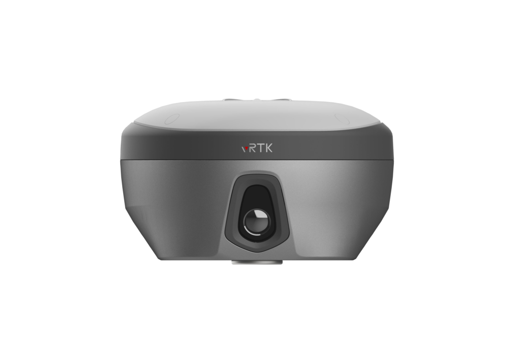
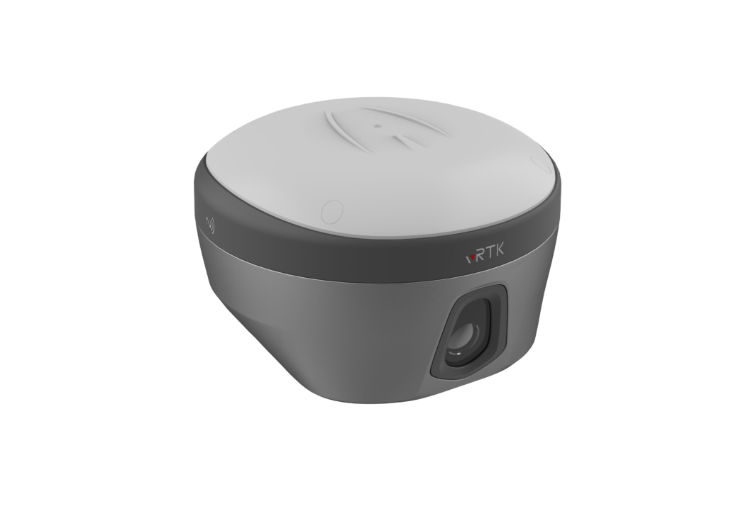
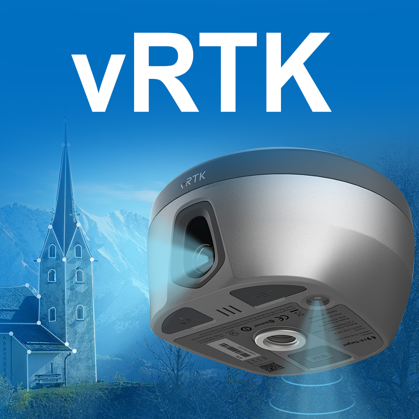
Camera
Pixel…………………………………………………………………………………………………………… 2MP & 5MP
Support real scene stakeout, image measurement, working distance 2~15m
Internal Battery 4
7.2V, 6900mAh Built-in lithium-ion battery.
RTK rover(UHF/Cellular) for 15 hours. Power indicator embedded.
Quick charge within 3.5 hours.
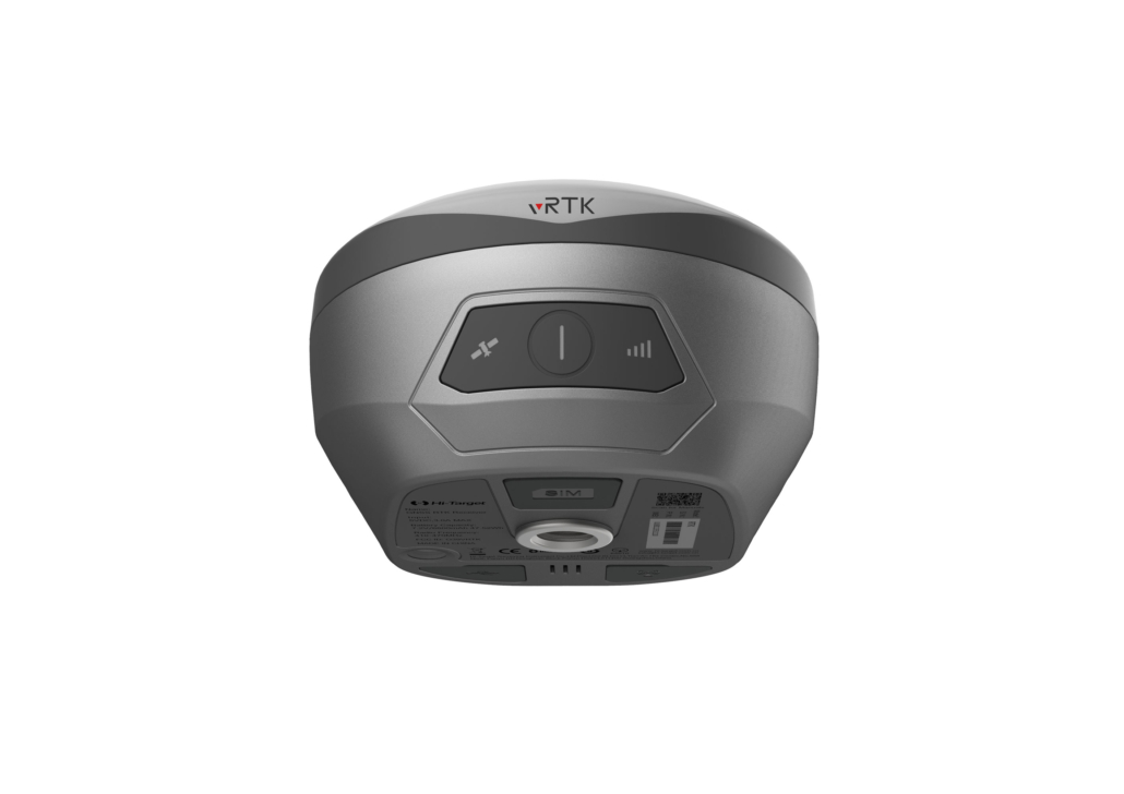
I/O Interface
Bluetooth 4.0/2.1+ EDR, 2.4 GHz. USB type C interface; SMA interface; Nano SIM card slot
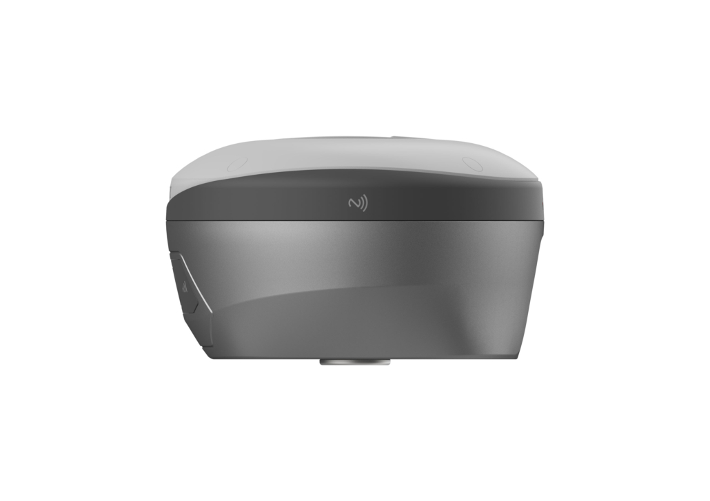
Near Field Communication(NFC)
Communication
Network Communication
Full band support for cellular mobile network(LTE, WCDMA, EDGE, GPRS, GSM). 2.4GHz Wi-Fi, supports the standard protocol 802.11 b/g/n. Network RTK(in CORS) range is 20-50km.
Internal UHF Transceiver Radio
Frequency……………………………………………….. ……………………………………………….. 434~435MHz Transmitting power……………………………………………….. 0.5W / 1W / 2W
Supports protocols: HI-TARGET, TRIMTALK450S, TRIMMARK III, SATEL-3AS, TRANSEOT, etc.
Working Range………………………………………………………………………………………. Typically 3~5km, optimal 5~8km Channels………………………………………………………………………………………. ……………………………………………………………………………………… 116
can limit due to Telecomunity organizations of each country.
SYSTEM CONFIGURATION
System
Data storage……………………………………………………………… Circulating 8GB Internal storage
Record GNS and RINEX format simultaneously
Additional horizontal pole-tilt uncertainty typically less than
8mm+0.7mm/°tilt(2.5cm accuracy in the inclination of 60°)
Data Formats
1Hz positioning output, up to 20Hz. RTCM2.X, RTCM3.X . Navigation outputs ASCII: NMEA-0183
- BDS B2b, GALILEO E6, QZSS L6, IRNSS L5 can be provided by firmware BDS B2b is optional for 1408 channels.
- The measurement accuracy, precision, reliability and initialization time depend on various factors, including tilt angle, number of satellites, geometric distribution, observation time, atmospheric conditions and multi-path validation, The data are derived under normal conditions.
- Irregular operations such as rapid rotation and high-intensity vibration may affect the inertial navigation [4]The battery operating time is related to the operating environment, operating temperature and battery life
[5]Accuracies are dependent on GNSS satellite availability. Hi-Fix Positioning ends after 5 minutes without differential data.Hi-Fix is not available in all regions, check with your local sales representative for more information.
Descriptions and Specifications are subject to change without notice

Hi-Target Surveying Instrument Co., Ltd.
***********************
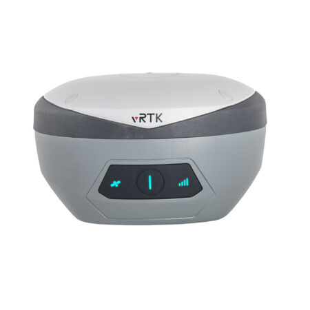
ویدیو معرفی گیرنده GNSS دارای دوربین فوتوگرامتری HiTarget مدل VRTK :
کافیست بیست دقیقه وقت گذاشته و از آخرین تکنولوژی روز GNSS موجود در بازار ایران و امکانات منحصر به فرد آن آشنا شوید
🌐لینک مشاهده ویدیو
https://aparat.com/v/jyX4P
hitarget


نقد و بررسیها
هنوز بررسیای ثبت نشده است.